1. An Agrarian Masterpiece: The UNESCO Cultural Landscape
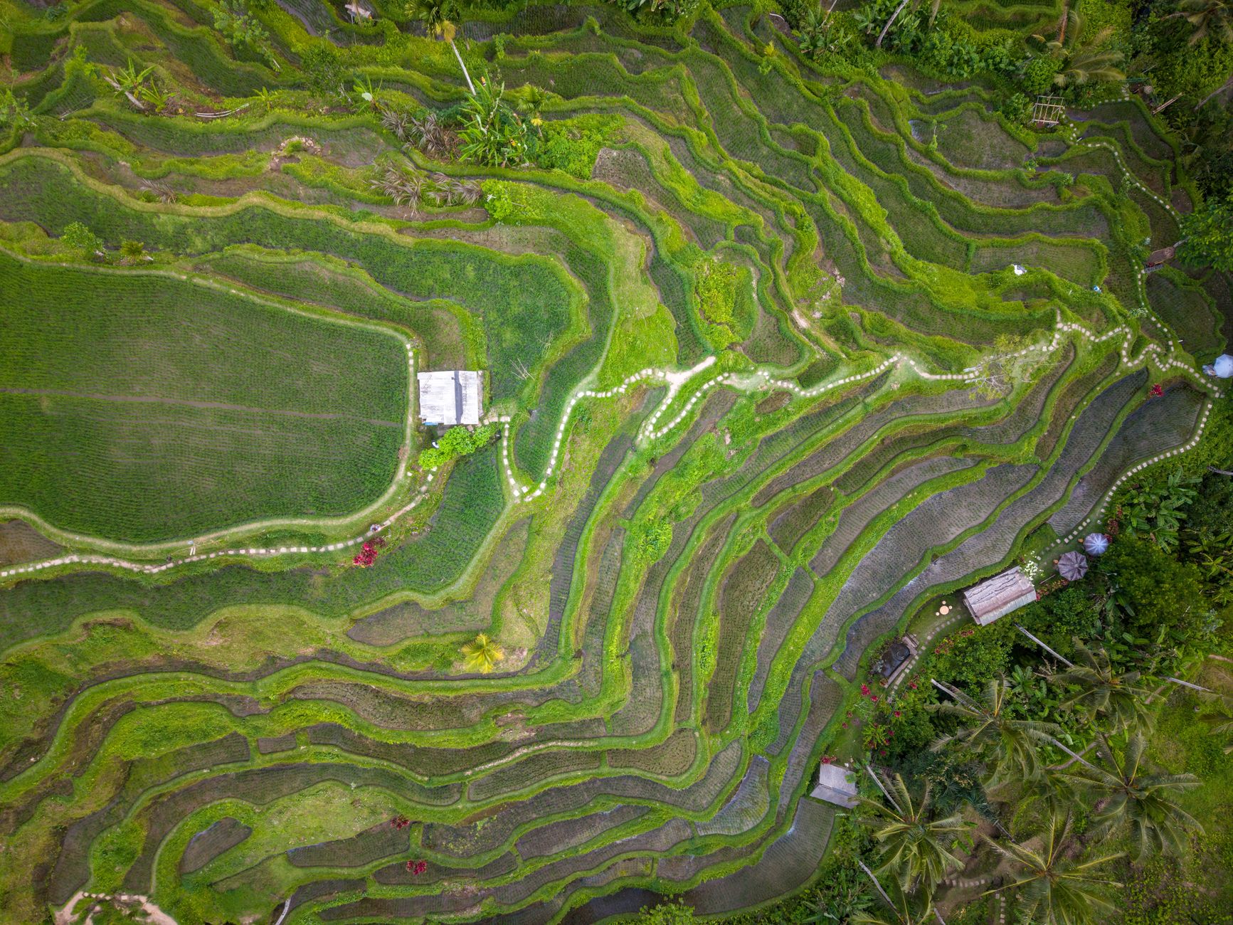
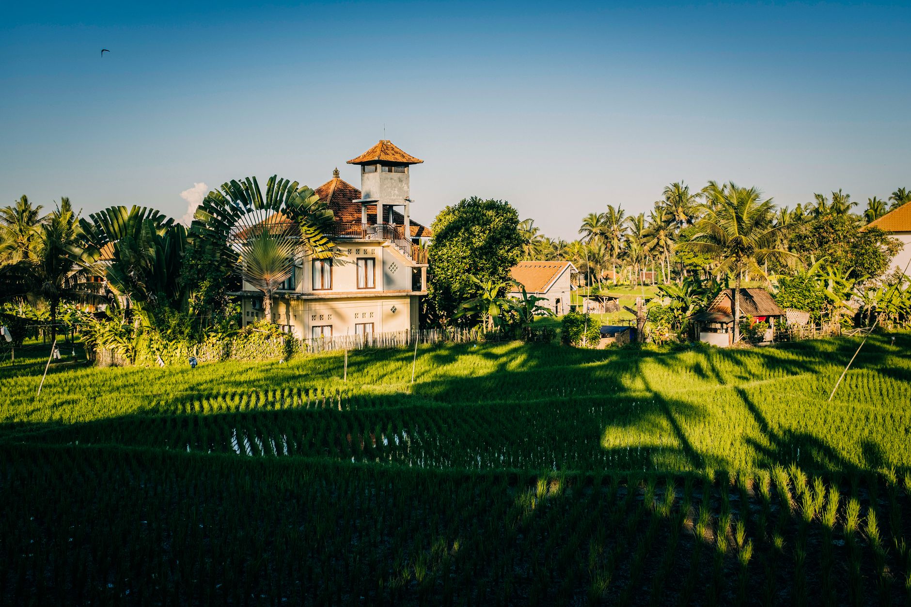
Situated in the Penebel district of Tabanan Regency, Daya Tarik Wisata (DTW) Jatiluwih represents Bali's largest, most ecologically intact agricultural expanse. Encompassing over 600 contiguous hectares of undulating rice terraces that cascade from the cloud-draped foothills of Mount Batukaru down to the river gorges, Jatiluwih was inscribed as a UNESCO World Heritage Site in 2012 under the title Cultural Landscape of Bali Province: the Subak System as a Manifestation of the Tri Hita Karana Philosophy.
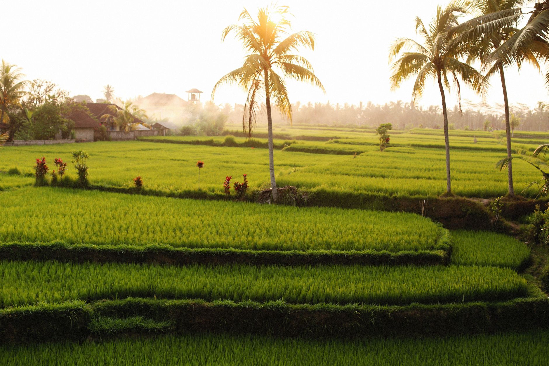
Unlike the commercialized roadside pocket of Tegallalang, Jatiluwih is an expansive, working agrarian biosphere. Perched at an altitude of 700 to 850 meters above sea level, temperatures here are delightfully crisp (19°C to 26°C), frequently shrouded in soft morning mountain mist. There are no neon signs, no multi-tiered dance clubs, and no rows of souvenir touts. Farmers continue to work these slopes using water buffalo, hand sickles, and bamboo irrigation flumes, adhering to rituals that have governed regional life for over a millennium.
2. The 5 Color-Coded Walking Trails: Detailed Route Guide
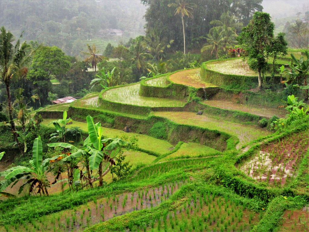
DTW Jatiluwih features a meticulously organized network of five color-coded walking trails. Each route is marked with clear wooden posts, stone bridges, and rest pavilions (bale gong). All five trails originate near the primary ticket checkpoint along Jalan Jatiluwih Kawan and are fully covered by your standard 75,000 IDR admission ticket.
Red Trail (Short Loop): 1.5 km • 30–45 Mins
The most accessible circuit. Follows a flat, paved concrete promenade looping directly through the primary viewing amphitheater. Ideal for families with young children, seniors, or travelers with limited time. Features panoramic overlooks of Mount Batukaru and traditional farmer offering shrines.
Purple Trail (Agricultural Loop): 2.0 km • 45–60 Mins
Branches off the Red Trail into active red rice paddies. Passes small water distribution canals and heirloom grain drying racks. Provides intimate close-up photography of rice stalks and water flumes with gentle gradient changes.
Yellow Trail (Medium Circuit): 2.7 km • 1.0–1.5 Hours
The consensus traveler favorite. Deepens into the middle terraces, crossing small bamboo footbridges over active river channels. You will observe farmers plowing with water buffalo and clearing irrigation weirs. Excellent solitude and zero commercial distraction.
Blue Trail (River & Valley Trek): 3.8 km • 2.0–2.5 Hours
Dips into the lower river ravines before ascending the opposite hillside. Passes dense bamboo groves, freshwater springs, and secluded subak temples. A rewarding intermediate hike requiring sturdy footwear with reliable grip.
White Trail (Rainforest Perimeter): 5.5 km • 3.5–4.0 Hours
The ultimate highland expedition. Climbs to the upper perimeter where the terraced fields merge directly into Mount Batukaru's protected virgin rainforest. Passes the primary subak intake tunnels and pristine mountain streams. Bring 1.5L of water and rain protection.
3. Heirloom Red Rice (Padi Cendana) & Agrarian Seasons
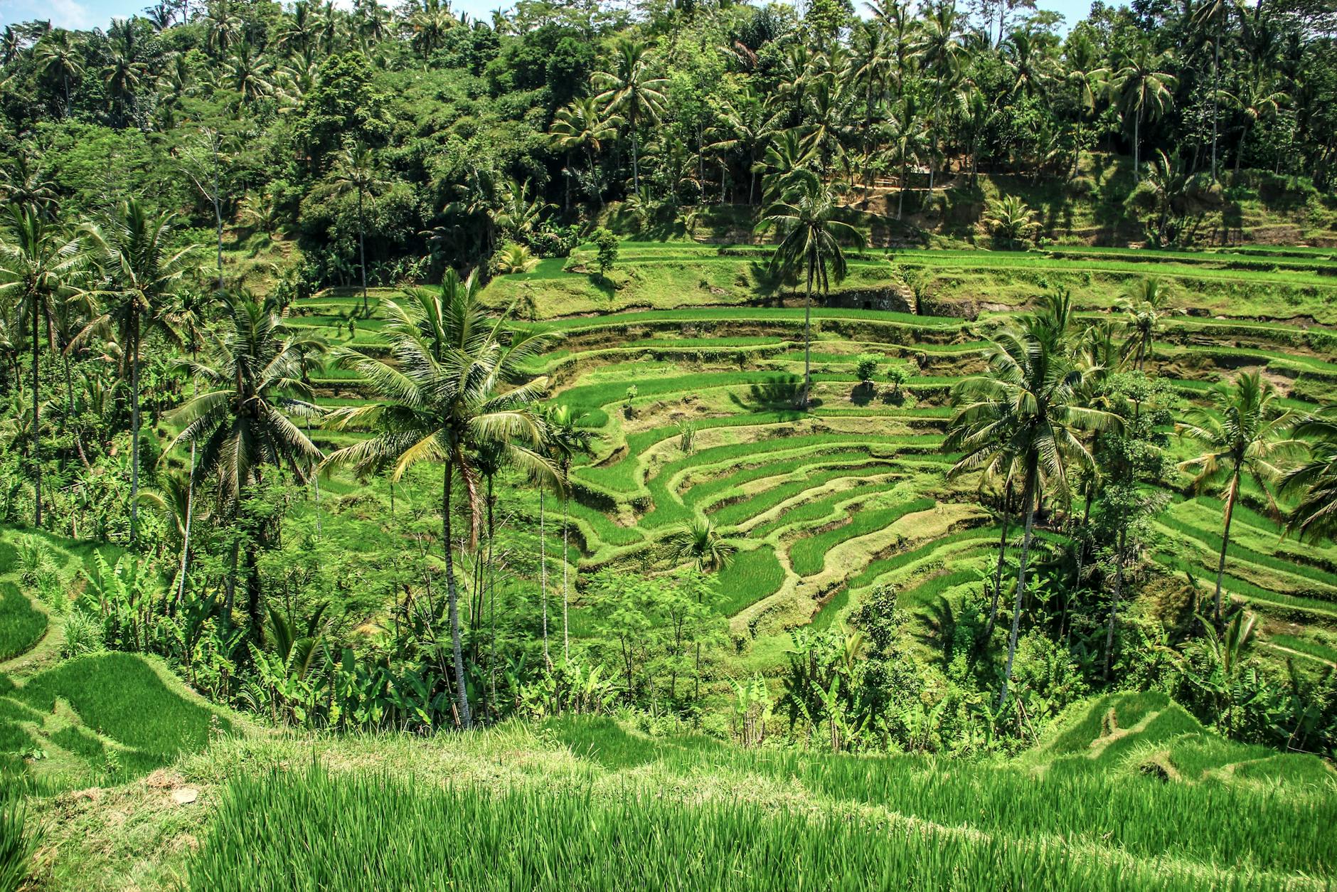
Unlike coastal plains in southern Bali where farmers plant fast-growing hybrid white rice varieties three times per year, Jatiluwih is dedicated to cultivating Beras Merah Jatiluwih, specifically the endemic heirloom grain known as Padi Cendana.
This ancient, tall-stalked grain requires a full 180-day (6-month) maturation cycle. It can only thrive in the cool montane climate and mineral-abundant volcanic spring water flowing from Mount Batukaru. The seasonal phenology follows a strict rhythmic calendar:
- December – January (Flooding & Planting): Paddies are plowed and inundated with water, creating shimmering, mirror-like reflective pools across the terraces.
- February – April (Vibrant Emerald Sea): The rice stalks shoot up to over a meter tall. The entire 600-hectare bowl displays its most luminous, uniform emerald green.
- Late April – June (Golden Amber Harvest): Heavy grains ripen into deep amber and copper hues. Farmers harvest the stalks by hand with traditional curved sickles (ani-ani).
- July – November (Secondary Crops & Rest): Fields are rotated with vegetables or left fallow, followed by land preparation for the next cycle.
4. Side Trips: Yeh Hoo Waterfall & Pura Luhur Batukaru
A day trip to Jatiluwih is ideally combined with two extraordinary nearby landmarks that showcase Tabanan's natural beauty and spiritual heritage:
Air Terjun Yeh Hoo (Waterfall)
A hidden mountain cascade tucked into a lush ravine just 2 kilometers east of the main terraces in Banjar Gunungsari. A short 5-minute staircase descent leads to a clear natural freshwater swimming pool surrounded by tropical ferns.
Pura Luhur Batukaru
One of Bali's nine sacred directional temples (Sad Kahyangan), situated in mist-shrouded cloud forest on the slopes of Mount Batukaru. Dedicated to Mahadewa, guardian of agriculture. Ancient moss-covered multi-tiered meru shrines create an awe-inspiring spiritual atmosphere.
5. Local Warungs & Red Rice Gastronomy
Commercial day-clubs are strictly banned within the UNESCO buffer zone, preserving an authentic dining landscape dominated by family-run warungs perched on stilts overlooking the terraces:
- Warung Wayan Jatiluwih (Jl. Batu Luwih Kawan No. 259): Renowned for authentic Nasi Campur Beras Merah (steamed heirloom red rice served with spiced shredded chicken, long bean lawar, and sambal matah) for 35,000 to 50,000 IDR.
- Teh Beras Merah (Red Rice Tea): A roasted, nutty, caffeine-free infusion brewed directly from toasted Jatiluwih red rice grains. Available fresh at almost all local warungs for 15,000 IDR per pot.
- Warung Dhea & Gong Jatiluwih: Offer panoramic second-story open bamboo dining decks overlooking the Red Trail. Buffets and à la carte dishes range from 45,000 to 85,000 IDR.
6. Transport Protocols & Avoiding the Highland Taxi Trap
Reaching Jatiluwih requires navigating winding single-lane provincial roads through the Tabanan highlands:
While Grab and Gojek drivers can drop passengers off at Jatiluwih from Ubud or Canggu, **they are strictly prohibited from picking up passengers in the Tabanan highland zone**. Furthermore, mobile data coverage can be patchy along the lower trails. Do not take a one-way app taxi to Jatiluwih expecting to order a car back. Local roadside drivers charge 450,000 to 600,000 IDR for emergency one-way rides to the south.
Recommended Travel Strategies
- Charter a Private Car with Driver (Best Choice): A 10-hour day charter costs 600,000 to 800,000 IDR total (~$38–$52 USD) for up to 5 passengers. Your driver waits at the DTW parking lot while you hike, then takes you onward to Yeh Hoo Waterfall, Pura Luhur Batukaru, or Bedugul.
- Scooter Rental (Experienced Riders Only): Driving from Ubud takes ~1.5 hours (40 km); from Canggu/Seminyak takes ~1.75 to 2.0 hours (50 km). Drive carefully on steep mountain curves and avoid riding after dark when mountain fog rolls in.
- Guided E-Bike & Cultural Tour: Pre-booked tours provide hotel transfers, premium electric bikes, helmets, and a local agrarian guide who explains the subak water temples.
7. Field Realities & Red Flags to Keep in Mind
Field Realities for Jatiluwih
-
Public Road Throughway Fee: The main municipal ticket booths are situated across the public highway (Jalan Jatiluwih Kawan). If you drive through the village on your way to Bedugul without stopping, checkpoint staff will still attempt to charge the 75,000 IDR fee. Explain clearly if you are in transit or retain your ticket receipt for return passage.
-
Afternoon Mountain Storms: Mount Batukaru generates localized convective rain clouds almost daily by 13:00 to 14:30 during the wet season. Always schedule your hike for early morning (08:00 to 11:30 AM) to enjoy clear mountain silhouettes and dry trails.
-
White Trail Wildlife Precautions: The 5.5 km White Trail borders pristine rainforest. Keep an eye out for territorial farm dogs near isolated drying sheds, and watch your step on stone flumes where green pit vipers occasionally bask during early morning hours.